This weekend at ORD camp I led a session on map and compass orienteering. Even in the age of GPS, it’s an indispensable outdoor skill. Electronics break, fall in a creek, batteries die, or clouds blot out your satellite uplink.
It’s also a ton of fun for participants of all ages, and it really connects you to hundreds of years of pathfinding. My toddler knows that the red needle on a compass points North, which is where Santa lives.
The best way to learn is by doing. Map and compass fundamentals are the basis of the sport of orienteering — think: outdoor scavenger hunt — and Chicago even has it’s own orienteering club.
For my session, I used the Silva Starter orienteering compass and a few USGS 7.5 minute quadrangle topographic maps. USGS quads are the basis of many commercial topo hiking maps and are available free of charge at USGS.gov.
I owe a big thanks to Dennis McClendon of Chicago Cartographics for attending the session. As a professional cartographer, Dennis was able to provide all sorts of details on how maps are actually created.
Maps
We primarily used maps of the ruggedly beautiful Blackbird Knob area of West Virginia, which includes portions of the Monongahela National Forest and Dolly Sods Wilderness.
US Topo, 2011 (25 MB) – This was the primary map we used. The U.S. Topo map series is rendered digitally and includes many layer overlays and aerial photography that can be turned on/off when viewed in Acrobat Reader.
1995 Topo Map (13 MB) – The older maps are analog. While they may not be up to date, there’s something beautiful about them. They also contain detail on forested and cleared areas, trails, peak names, human-made structures and double track that the U.S. Topo maps lack. Of course, they’re also over 10 years old, so you may be looking for a clearing or a trail that no longer exists.
Chicago Loop 1997 Topo – We didn’t get into the Chicago loop map, but I printed it in case we headed outside. You can practice biangulation (finding where you are by shooting bearings to known landmarks) from nearby Erie Park. While standing in the circle at the corner of Erie and Larrabee, I could biangulate using Willis Tower (Sears Tower as I and the map remember it) and Aon Tower (formerly Standard Oil). Or, if standing by the sculpture at the east end of the park, I could see the Hancock building and Merchandise Mart.
Session Handout and Reading
map-compass-techniques: The session handout covered map contours and common navigation techniques.
If you missed the session, this was the best free navigation tutorial I found.
And here are a few of the books I’ve read over the years:
The Essential Wilderness Navigator – a great primer
Be Expert With Map and Compass – a classic, by the man who founded Silva
Orienteering – geared more towards the sport of orienteering than general navigation.
Advanced Outdoor Navigation – has some terrific information, but since the author was a former SERE instructor, he spends a lot of time on wilderness survival. Hopefully your navigation skill is sufficient that you won’t need this ;-)

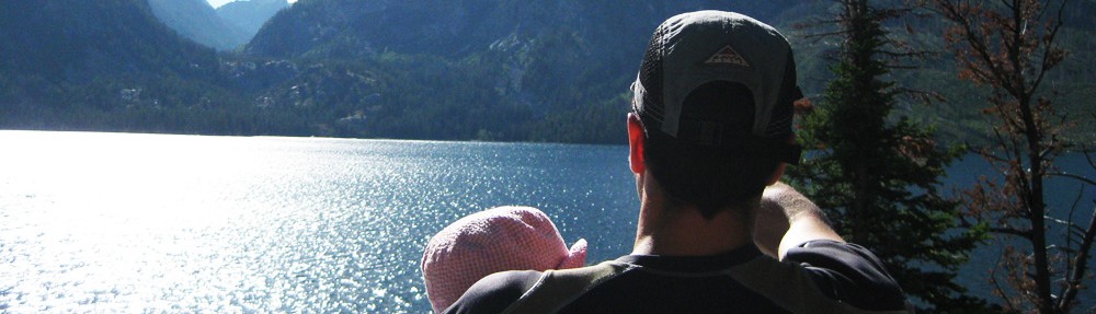
Photo by Margaret Stewart
Session outline
Topo Maps:
- Quandrangle info
- Scale (i.e. 1:24,000)
- Declination (Magnetic/True/Grid North)
- Road/Trail information
- Contour Interval
Reading contours:
- Peak
- Saddle
- Ridgeline
- Drainage/gulley
- Valley
- Steep cliff vs. shallow elevation change
- Depressions
Tips:
- Always know where you are
- Orient your map (“thumb arrow” points in direction of travel)
- Take roads/trails when permissible
Errors:
- 180 degree errors (north/south error) – check compass orientation direction
- 90 degrees – compass check cardinal direction
- Parallel errors – are you where you think you are?
- Following others – don’t do it!
Techniques:
- Aiming off
- Attack points
- Biangulation/Triangulation
- Catch points
- Handrails
- Bracketing
- Contouring (altimeter?)
Here are handouts/maps from my #ORDcamp session, “How to navigate with map & compass” http://t.co/cCNNF1hG. I need to do a general writeup!